
Currently Empty: 0.00 €
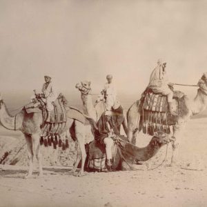
In 1880, Egypt was formally part of the Ottoman Empire but was largely under European influence. Britain and France played major roles in Egyptian politics because of the country’s ...
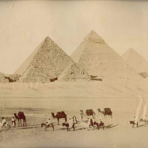
Vintage Giza pyramids photography: Antique Egypt desert landscape print This evocative late 19th-century sepia photograph captures a panoramic view of the majestic pyramids of Giza rising from the Egyptian ...
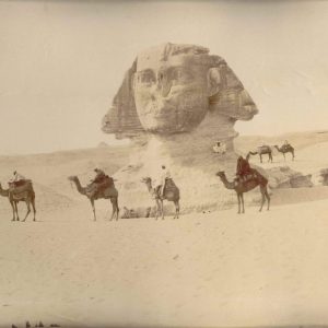
Egyptian society at that time mixed ancient traditions with modern influences. Cairo and Alexandria were lively cities with markets, mosques, and schools, but also growing European communities. Education and ...
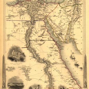
Victorian Cartography of the Nile Valley and Sinai Published in 1851 by John Tallis, this beautifully engraved antique map delineates the territories of Lower, Central, and Upper Egypt alongside ...
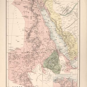
Cartography of Northeast Africa and the Red Sea This vintage nineteenth-century map provides a comprehensive geographical overview of the Nile Valley, Eastern Soudan, and Abyssinia. The detailed illustration traces ...
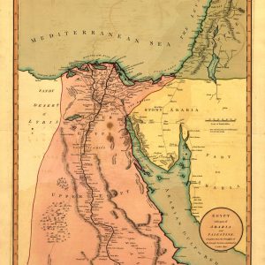
Historical Geography of Egypt and the Levant This authentic 1803 regional map offers a detailed cartographic view of Northeast Africa and the Middle East during the early nineteenth century. ...
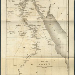
Historical Cartography of the Antique Map of Egypt and the Nile River This beautifully preserved 1844 antique map showcases the geography of Egypt, Nubia, and the surrounding regions, including ...
