Currently Empty: 0,00 €
0 Comments
The nineteenth century was a period of profound transformation for Mexico – politically, socially, and geographically. In the aftermath of independence from Spain (achieved in 1821), the young nation struggled to forge a stable identity amid internal conflicts, foreign interventions, and territorial losses.
Mapping a Nation in Transition
Amid all of this tumult, Mexico’s physical and administrative boundaries shifted, new states emerged, and maps became instruments of power, identity, and documentation.
Artistry and Precision in 19th-Century Cartography
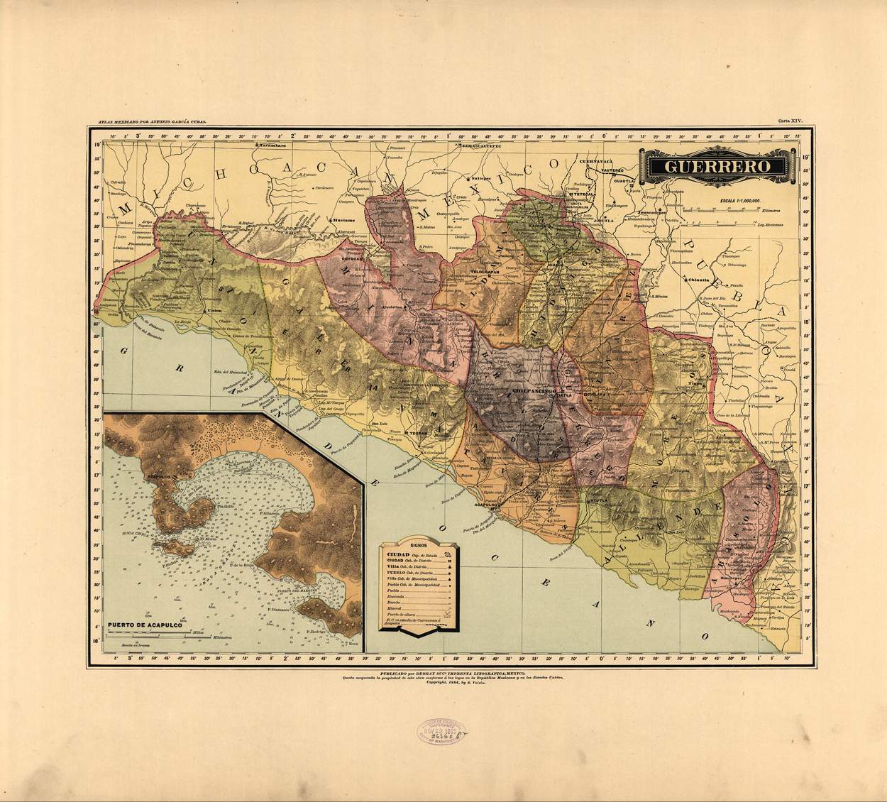
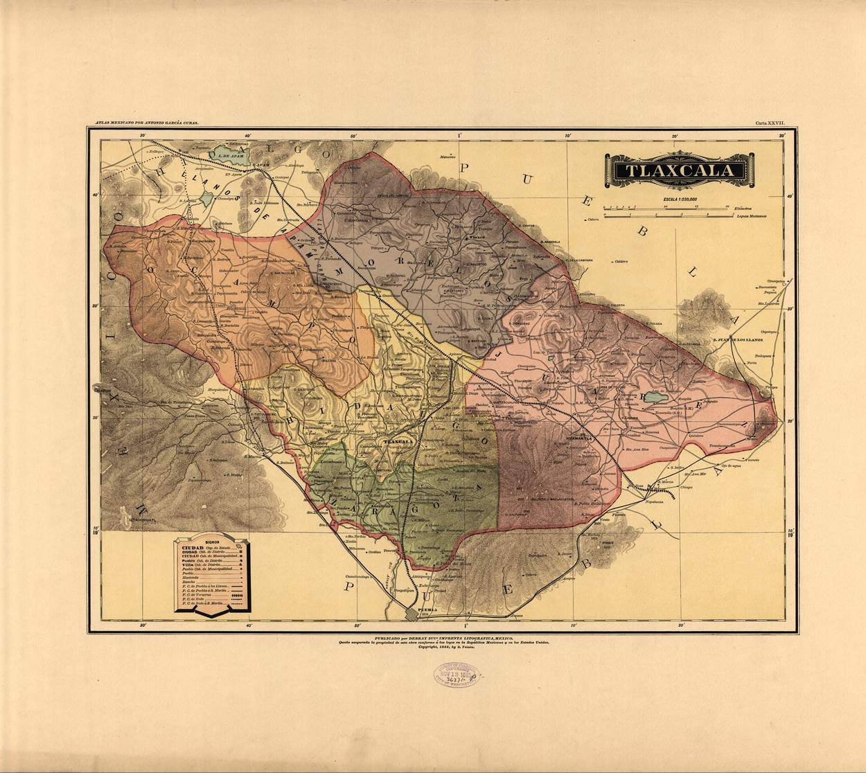
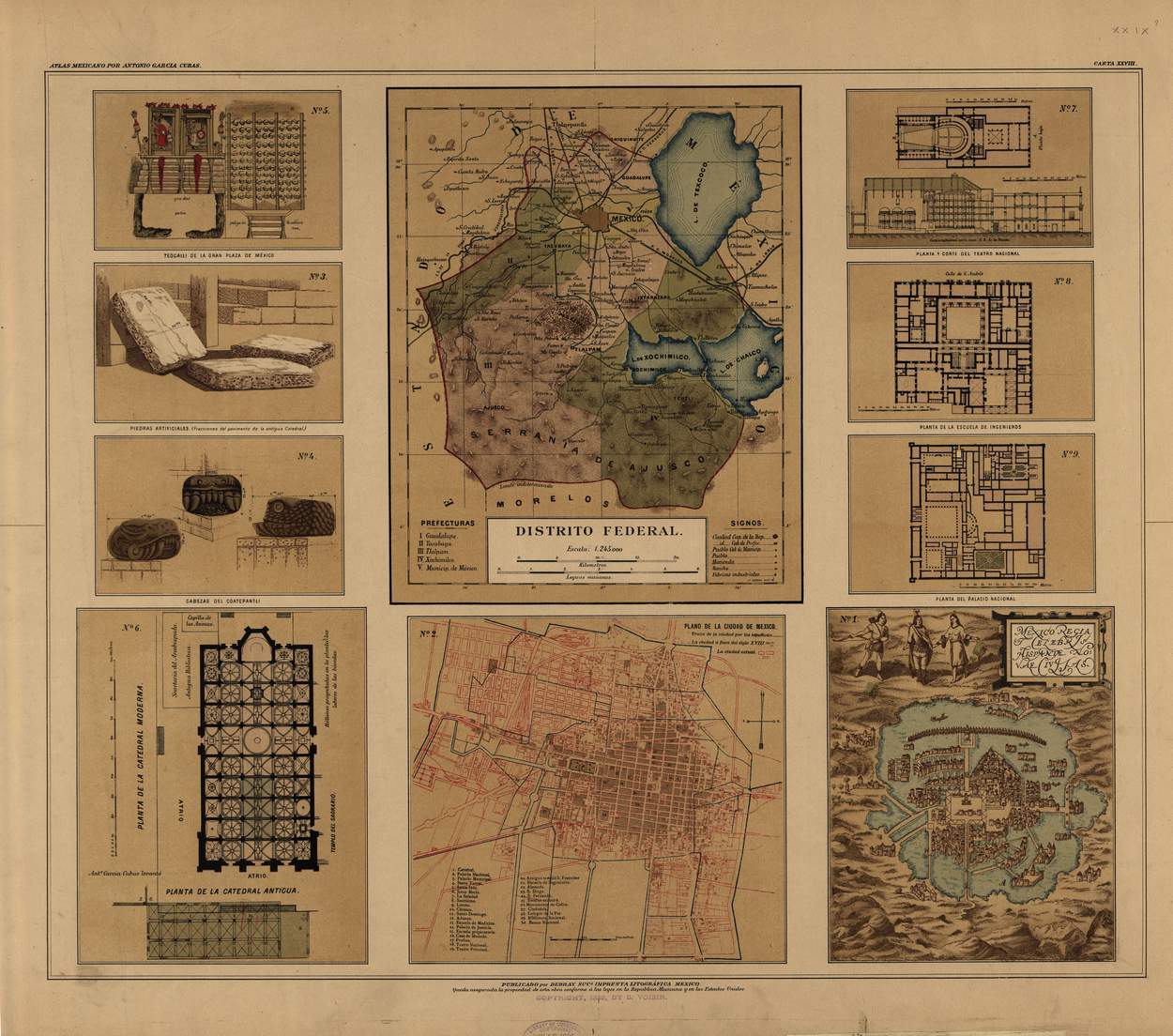
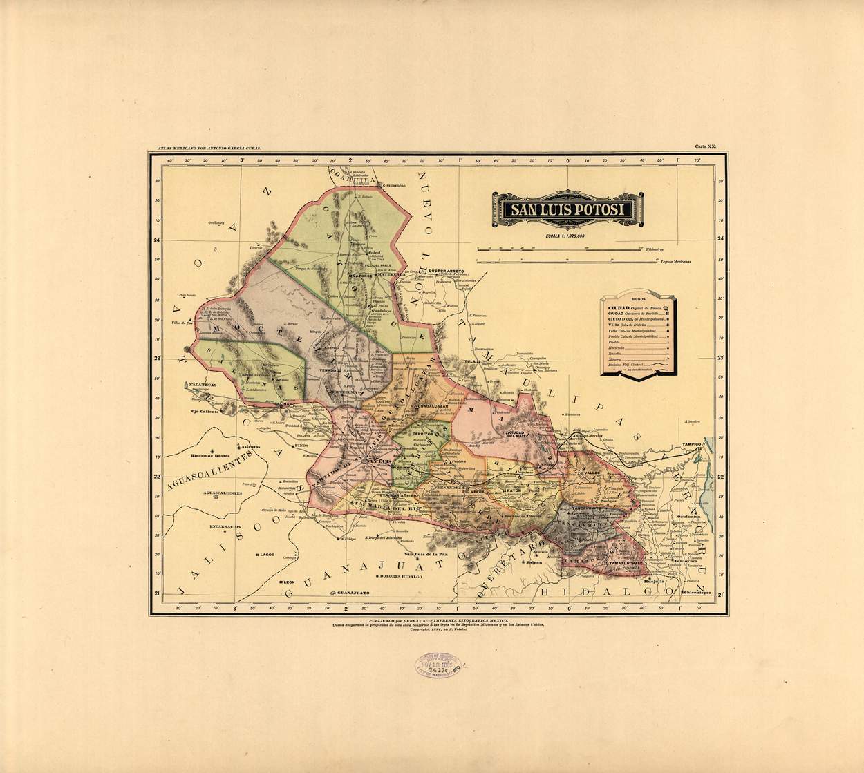
The collection of 19th-century Mexican maps available through the Library of Congress offers a visual window into these shifting geographies. These atlas sheets show territorial divisions, topography, roads, rivers, population centers, and even the subtle artistry of engraving. Beyond their functional purpose, they are works of cartographic craftsmanship. The delicate linework, shades of hachure or tinting, and decorative cartouches evoke a time when mapmaking was both a scientific endeavor and an art form. These maps capture not only the spatial and political realities of their era, but also the aesthetics, typographic conventions, and visual sensibilities of 19th-century cartography.
Maps as Timeless Decorative Treasures
When reproduced as prints, these maps become elegant decorative pieces that carry deep historical resonance. Framed and displayed, they can transform a room into a space of intellectual and aesthetic contemplation. They invite the viewer to linger over place names long since changed, to trace the routes of old trade or travel, and to reflect on how borders have evolved. Their tonal contrasts of sepia, black, and muted coloring add a vintage charm, while the sense of age and authenticity enhances the ambiance of libraries, studies, parlors, or offices.
The Beauty of History on Paper
In sum, the 19th-century atlas maps of Mexico are more than archival curiosities: they are artifacts that unite the scholarly and the decorative. Through them one can explore the historical journey of a nation still in formation, while at the same time enjoy the timeless beauty of engraved cartography. They remind us that maps do more than guide—they tell stories, evoke eras, and decorate our walls with living history.