
Currently Empty: 0,00 €

Historical Aviation Topography This image displays a vintage 1934 United States airway map. It shows the detailed topographical terrain between North Carolina and Virginia. Pilots used these specific charts ...

Historical Aviation Topography This image displays a vintage 1929 United States airway map. It shows the detailed topographical terrain between North Carolina and Virginia. Pilots used these specific charts ...
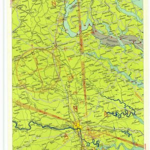
Historical Aviation Topography This image displays a vintage 1934 United States airway map. It shows the detailed topographical terrain between Virginia and Washington DC. Pilots used these specific charts ...
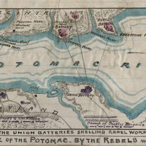
American Civil War Manuscript Sketch of the Potomac River Blockade This rare hand-drawn military manuscript map documents the strategic naval blockade of the Potomac River during the winter of ...
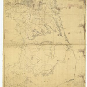
Historical Coastal Cartography of 1862 This antique map displays the intricate coastline of Virginia and North Carolina during the American Civil War. It showcases the detailed network of waterways, ...
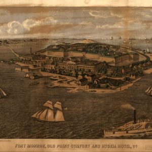
19th-Century Maritime View of Fort Monroe and Old Point Comfort This dramatic antique lithograph offers a spectacular panoramic perspective of Fort Monroe, Old Point Comfort, and the legendary Hygeia ...
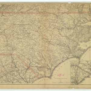
Historical coastal map of the North Carolina region This image presents an antique aeronautical chart from the U.S. Coast Survey. It illustrates the detailed coastal landscape of North Carolina. ...
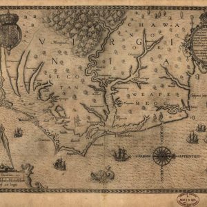
Own a Piece of Early American Exploration History Step back into 1590 with this remarkable reproduction of Theodor de Bry’s iconic engraving of the Virginia coastline. Based on John ...
