
Currently Empty: 0,00 €

Historical Aviation Topography This image displays a vintage 1931 United States airway map. It shows the detailed topographical terrain between Georgia and Tennessee. Pilots used these specific charts for ...
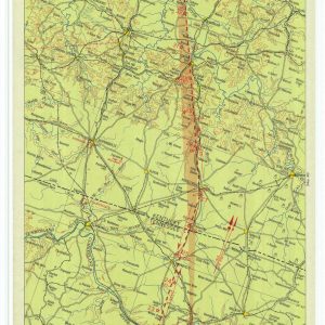
Historical Aviation Topography This image displays a vintage 1933 United States airway map. It shows the detailed topographical terrain between Tennessee and Indiana. Pilots used these specific charts for ...
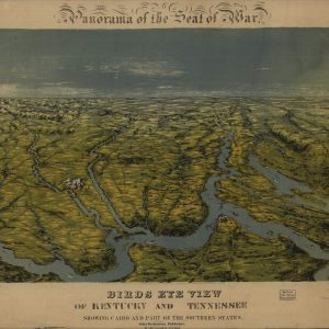
Historical Civil War Panoramic Map Immerse yourself in history with this stunning reproduction of John Bachmann’s 1861 “Panorama of the Seat of War.” This vintage bird’s-eye view map captures ...

Historical Birds Eye View Map of Knoxville Tennessee This detailed 1886 panoramic map provides a historic bird’s-eye view of Knoxville, Tennessee. It illustrates the urban landscape, early street grids, ...
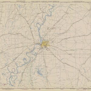
Military Aviation Topography This image displays a vintage 1950 United States military aeronautical chart. It shows the detailed terrain around Memphis. Pilots used these tactical maps for visual navigation ...
