
Currently Empty: 0,00 €
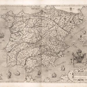
Geographical Outline and Regional Topography of the Iberian Peninsula This antique Renaissance engraving illustrates the complete landmass of Spain and Portugal, historically designated under the title Hispaniae Descriptio. The ...
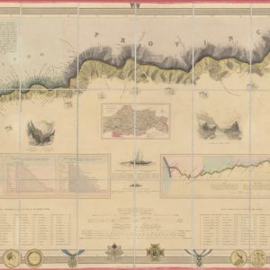
Chart the Historic Pathways of the Port Wine Trade Celebrate the legendary history of Iberian winemaking and navigation with this extraordinary 1848 hydrographic survey map of the Portuguese Douro ...
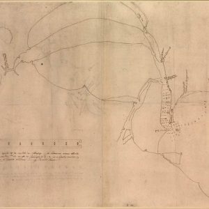
Acquire a Rare Military Sketch from the Drake-Norris Expedition Immerse your space in raw Elizabethan military history with this remarkable reproduction of James Bere’s circa 1589 manuscript map. Hand-drawn ...
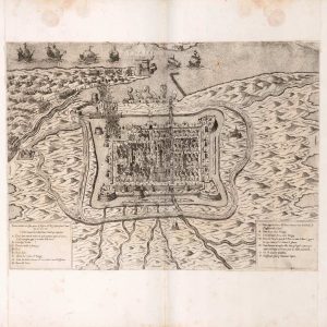
Discover the Strategic Bastions of Historic Calais Immerse yourself in Anglo-French maritime heritage with this remarkable architectural map reproduction of the fortified city of Calais. This detailed 16th-century monochrome ...

Vintage Espagne Spanish tourism art poster Capture the sun-drenched joy of summer with this beautiful reproduction of a classic vintage travel poster promoting Spain. The vibrant illustration features a ...
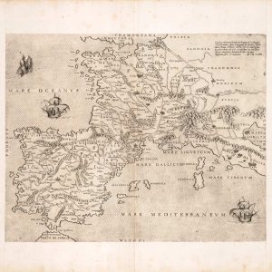
Explore 16th-Century Western European Cartography Immerse your space in the historical geography of the Renaissance with this rare 1554 map engraving of France, the Iberian Peninsula, and Flanders. Published ...
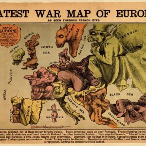
Satirical Map of Europe During the Franco-Prussian War This 1870 satirical caricature map portrays European nations as humorous and aggressive figures during the Franco-Prussian War. Titled as Europe seen ...
