
Currently Empty: 0,00 €
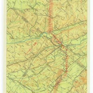
Historical Aviation Topography This image displays a vintage 1931 United States airway map. It shows the detailed topographical terrain between Georgia and Tennessee. Pilots used these specific charts for ...
