
Currently Empty: 0,00 €
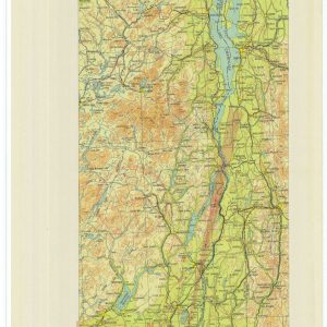
Historical Aviation Chart Directs Pilots Across Regional Waterways This technical publication captures the updated Airway Map Number 132 from June 1932. The Coast and Geodetic Survey compiled this specialized ...
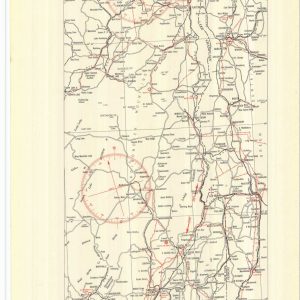
Historical Aviation Topography This image displays a vintage 1930 United States airway map. It shows the detailed topographical terrain between New York and Canada. Pilots used these specific charts ...

Archival Flight Chart Plots Southern Aviation Expansion This geographic print preserves the original Airway Map Number 128 from late 1929. The United States Coast and Geodetic Survey engraved this ...
