Currently Empty: 0,00 €
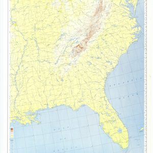
Gulf to Great Lakes New York to Miami to Chicago to New Orleans
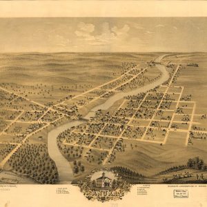
Perspective map not drawn to scale. LC Panoramic maps (2nd ed.), 381 Available also through the Library of Congress Web site as a raster image. Includes ill. and index ...
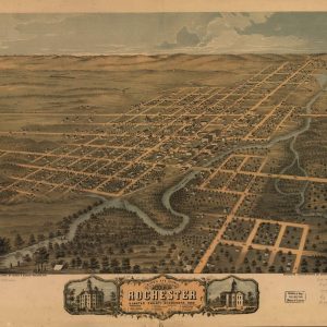
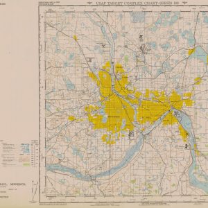
Bird’s eye view of the city of Rochester, Olmsted County, Minnesota 1869. Perspective map not drawn to scale. “Looking north west.” LC Panoramic maps (2nd ed.), 405 Available also ...