Currently Empty: 0,00 €

American Civil War Military Cartography and Strategic Fortifications This rare historical document serves as a tactical visual reference from the early years of the American Civil War, specifically detailing ...
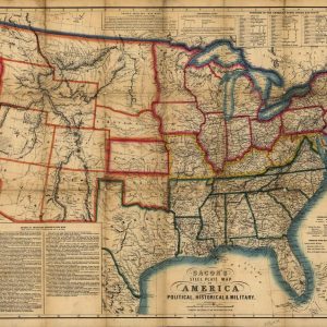
Historical Civil War Map of the United States This antique lithograph showcases a rare 1863 steel plate map of America, subtitled Political, Historical, and Military, published in London by ...