
Currently Empty: 0,00 €

Aeronautical flight corridors across western Europe This vintage aeronautical map displays official United States military navigation routes across western European nations. It details strategic aviation corridors linking key territorial ...

The Artistic Legacy of Leon Garù in Airline Advertising This authentic 1950s Alitalia promotional poster showcases the signature mid-century modern aesthetic crafted by Italian designer Luigi Broggini under the ...
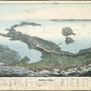
Acquire a breathtaking geological perspective of historical Italy Immerse yourself in classical European geography with this rare antique panoramic illustration titled Veduta d’Italia. Unlike conventional mapping, this extraordinary 19th-century ...
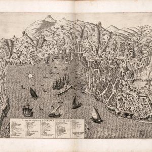
Explore the Architectural Marvel of Historic Genoa Step into the golden era of the maritime republics with this breathtaking reproduction map of the noble city of Genoa. Dated 1584, ...
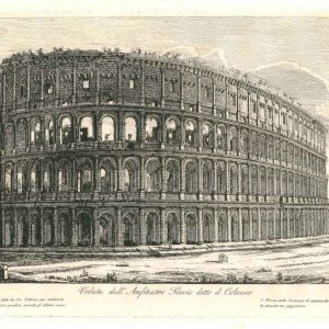
Vintage Architectural Prints and Roman Classical Engravings This beautiful antique etching displays a historic perspective of the Roman Colosseum, titled Veduta dell Anfiteatro Flavio detto il Colosseo. The detailed ...
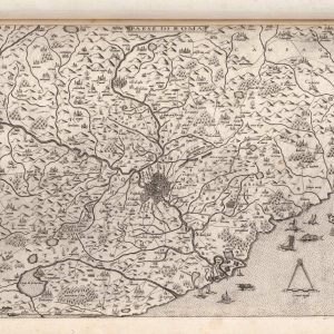
Explore the historic countryside surrounding the Eternal City Immerse yourself in classical geography with this exquisite reproduction of the 1560 Renaissance map titled "Paese di Roma". Centered around Rome, ...

Trace the historic borderlands of Northeast Italy and Istria Immerse your space in the historical geography of Europe with this splendid reproduction of the 1563 map titled "Nova Descriptione ...
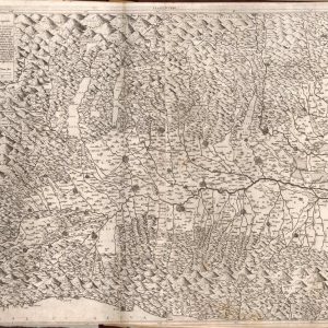
Explore Vintage Italian Cartography Delve into the geographical heritage of Northern Italy with this exquisite reproduction of a classic Lombardy territory map. The intricate engraving meticulously details the sweeping ...
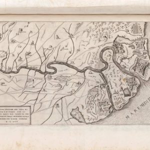
Uncover the Ancient Maritime Gateway to Rome Delve into the strategic cartography of the Italian peninsula with this detailed reproduction map of Ostia and the historic mouth of the ...
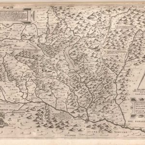
Discover the Alpine Topography of the Historic Duchy of Savoy Embark on a geographical journey through the heart of the Western Alps with this spectacular archival reproduction of the ...
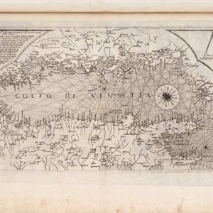
Geographical Layout and Coastal Features of the Adriatic Sea This antique Renaissance engraving displays a highly detailed regional map of the Adriatic Sea, labeled as the Gulf of Venice. ...

Geographical Overview of the Adriatic Sea and Balkan Territories This antique Renaissance engraving illustrates the northern Adriatic region, historically designated as the Gulf of Venice. The map provides a ...
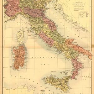
Nineteenth-Century Scottish Cartography of the Italian Peninsula Published in Edinburgh by Adam & Charles Black, this exceptional antique map offers a highly detailed geographical survey of Italy during the ...
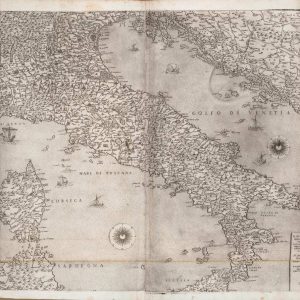
Geographical Layout and Maritime Navigation of the Italian Peninsula This antique Renaissance engraving illustrates the complete landmass of Italy along with its surrounding Mediterranean and Adriatic waters. The cartographer ...
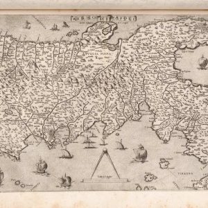
Explore 16th-Century Southern Italian Cartography Immerse your space in the historical geography of the Italian Peninsula with this rare 1560 Renaissance map engraving of the Kingdom of Naples. Originally ...
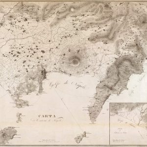
Topographical Survey of the Gulf of Naples and Mount Vesuvius This exquisite 1828 regional chart provides an authentic look at the coastal geography surrounding Southern Italy. The monochrome lithograph ...
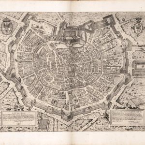
Discover the Oldest Detailed Map of Milan Immerse your space in the grandeur of Lombardy’s history with this rare 1573 Renaissance bird’s-eye view map of Milan, published in Rome ...

Mid-Century Commercial Aviation Travel Advertisement Embark on a nostalgic journey to Europe with this magnificent reproduction of a mid-century Panair do Brasil travel poster promoting flights to Italy. Part ...

Uncover the Defensive Heritage of Ancient Nettuno Delight in the spectacular detail of this 1557 reproduction map illustrating the historic Italian coastal town of Nettuno. Titled “Il Vero Ritratto ...

Discover the Rugged Topography of the Dalmatian Coast Immerse your space in Mediterranean history with this fascinating reproduction of a vintage map depicting the coastal territory of Zara. This ...

Discover the 1557 Military Topography of Rome Immerse your space in the complex history of the Eternal City with this rare 1557 Renaissance map engraving of Rome, masterfully created ...

Discover a Rare 1560 Renaissance Map of Sicily Immerse your space in Mediterranean history with this exquisite 1560 Renaissance map engraving of Sicily, titled “Sicilia insularum omnium optima”. Produced ...
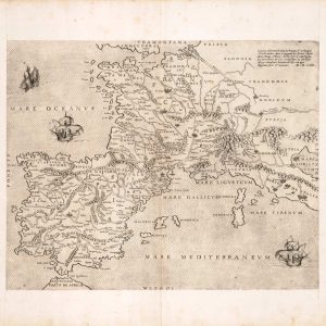
Explore 16th-Century Western European Cartography Immerse your space in the historical geography of the Renaissance with this rare 1554 map engraving of France, the Iberian Peninsula, and Flanders. Published ...
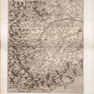
Discover a Foundational Renaissance Map of Piedmont Immerse your space in the geographic history of Northern Italy with this rare 1560 Renaissance map engraving of the Piedmont region. Titled ...
