
Currently Empty: 0,00 €
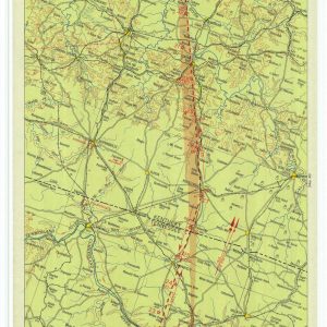
Historical Aviation Topography This image displays a vintage 1933 United States airway map. It shows the detailed topographical terrain between Tennessee and Indiana. Pilots used these specific charts for ...
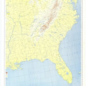
Aeronautical flight corridors of the eastern states This vintage aeronautical map displays official United States military navigation routes across the eastern half of the nation. It details strategic aviation ...
