
Currently Empty: 0,00 €
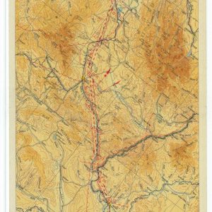
Antique Topographical Chart Illustrates Pacific Northwest Flight Corridor This original document showcases Airway Map Number 138 from May 1931. The Coast and Geodetic Survey produced this colorful technical artifact ...
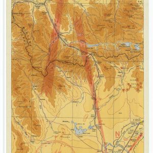
Historical Aviation Topography This image displays a vintage 1935 United States airway map. It shows the detailed topographical terrain between Idaho and Montana. Pilots used these specific charts for ...
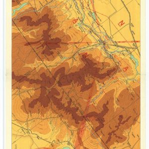
Historical 1931 airway map from Salt Lake City to Elko This image showcases a vintage vertical airway map published in May 1931. It illustrates an early commercial flight corridor ...
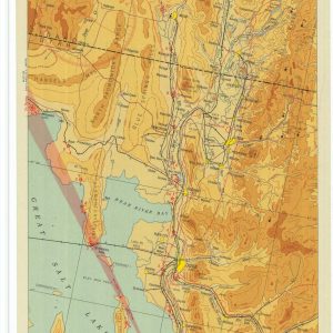
Historical 1931 airway map from Salt Lake City to Pocatello This image showcases a vintage vertical airway map published in November 1931. It illustrates an early commercial flight corridor ...

Map the Mid-Century Defense Corridors of the American Southwest Step into a defining era of tactical navigation with this authentic reproduction of a 1953 aviation route chart covering the ...

Historical Aviation Topography This image displays a vintage United States aeronautical map. It shows the detailed topographical terrain around Yellowstone Park. Pilots used these specific charts for visual navigation ...
