
Currently Empty: 0,00 €

Historical Aviation Chart Directs Pilots Across Regional Waterways This technical publication captures the updated Airway Map Number 132 from June 1932. The Coast and Geodetic Survey compiled this specialized ...

Historical Aviation Topography This image displays a vintage 1930 United States airway map. It shows the detailed topographical terrain between New York and Canada. Pilots used these specific charts ...
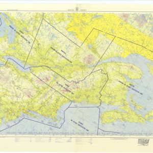
Historical aviation map from Chicago to Gander This historical document is a vintage aviation route chart. It covers the airspace from Chicago to Gander. The map illustrates flight corridors ...
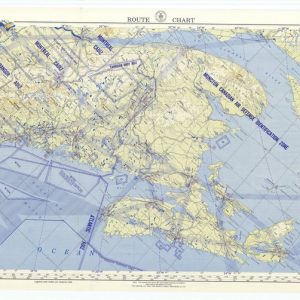
Historical New York to Gander Aeronautical Route Chart This vintage military route chart maps the airspace from New York to Gander. The document displays tactical aviation corridors across the ...
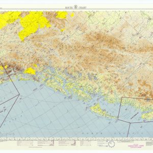
Chart the Historic Aerial Defense of the Alaskan Gulf Delve into the strategic landscape of the far north with this exceptional reproduction of a 1953 aviation route chart, focusing ...
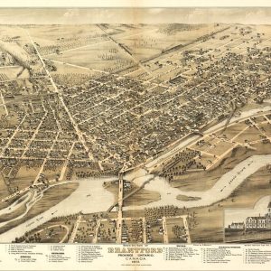
Nineteenth-Century Canadian Industrial Heritage Art Immerse your space in the rich history of the Province of Ontario with this magnificent 1875 panoramic chart of Brantford, Canada. Known historically as ...

Vintage Military Posters and WWI Victory Bonds Art This striking black and white historical print from the World War I era promotes the purchase of government war loans in ...

Vintage Niagara Falls Railway Suspension Bridge Poster This remarkable 1870s locomotive lithograph advertises “The only Route via Niagara Falls & Suspension Bridge.” The detailed illustration showcases a powerful steam ...
