
Currently Empty: 0,00 €


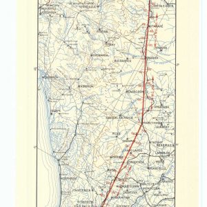
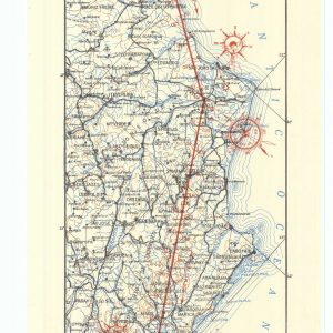
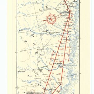
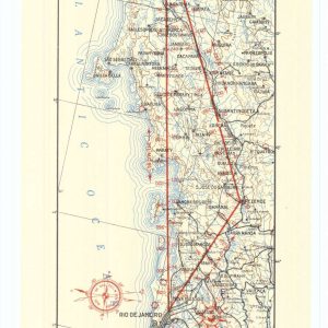

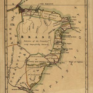
Geopolitical 1808 Map of Brazil and Trans-Atlantic Portugal This rare 1808 hand-colored map, engraved and published in London by John Luffman, represents a crucial moment in South American colonial ...
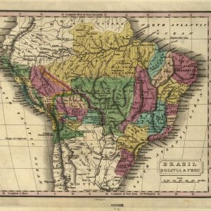
Historic Nineteenth-Century South American Cartography Travel back to the early post-independence era of South America with this magnificent reproduction of the 1830 map of Brazil, Bolivia, and Peru. Beautifully ...
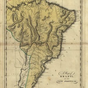
A Rare Cartographic Survey of Early South American Provinces Delve into the fascinating age of geographic demarcation with this high-fidelity reproduction of the 1818 Philadelphia engraving titled “A Map ...
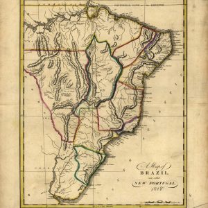
Cartographic Heritage of Colonial South America Revisit the twilight years of the Portuguese Empire in the Americas with this striking reproduction of Mathew Carey’s 1818 masterpiece, “A Map of ...
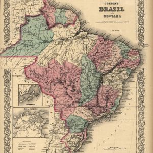
Nineteenth-Century Cartography of the Empire of Brazil and Guayana Published in 1871 by G.W. & C.B. Colton, this authentic antique map offers a detailed geographical survey of South America ...
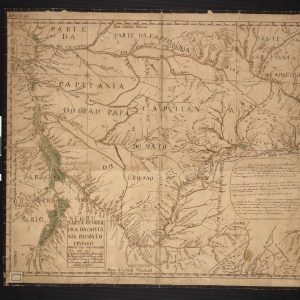
18th-Century Cartography of Colonial Brazil This historical manuscript map outlines the expansive territorial boundaries of the Captaincy of Mato Grosso during the Portuguese colonial era. Meticulously detailed to represent ...
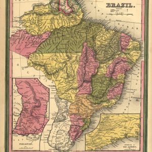
Mid-nineteenth century cartography of Imperial Brazil This antique 1846 map depicts Brazil during its imperial era, showcasing detailed provincial boundaries and distinct hand-colored regions. Published in Philadelphia, the document ...
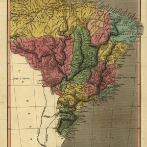
Historical cartography of the Brazilian Empire This antique 1823 map shows the territorial division of Brazil shortly after its independence. It highlights the early imperial provinces, coastal regions, and ...
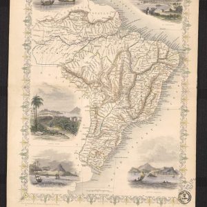
Nineteenth-Century Imperial Brazil Cartography Immerse your space in the historical grandeur of South America with this masterfully restored 1851 map of Brazil, published by the legendary Victorian cartographer John ...

Historical 1828 cartographic map of Brazil and Paraguay This antique engraved map displays a detailed 1828 geographic perspective of Brazil and Paraguay, covering a vast expanse of South America ...
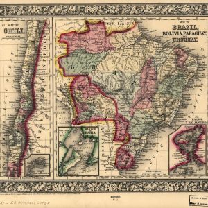
Historical Nineteenth-Century Map of South American Nations This antique color lithograph represents a highly detailed 1865 map of Brazil, Bolivia, Paraguay, Uruguay, and Chile. Published by Samuel Augustus Mitchell ...

Vintage advertisement from Panair do Brasil, the leading Brazilian airline at the time, promoting its transatlantic route using the Douglas DC-7C aircraft.
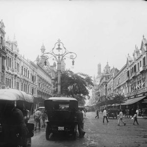
In 1910, Rio de Janeiro was the capital of Brazil and a city in transformation. The streets were beginning to modernize with the introduction of electric trams and public ...
