
Currently Empty: 0,00 €
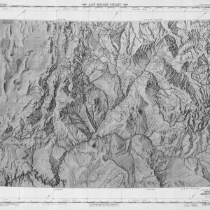
Historical shaded relief map from U.S. Coast Survey This historical image shows a black and white shaded relief map from December 1947. It presents a highly detailed topographic view ...

Restricted Military Mapping Explores Arctic Aviation Paths This historical document features an official Aeronautical Planning Chart of Alaska. The unique artifact carries a distinct red restricted security stamp. A ...
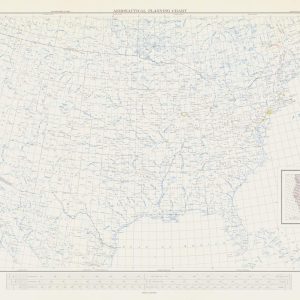
Continental Aviation Grid Facilitates National Flight Planning This comprehensive cartographic document shows an official United States Aeronautical Planning Chart named AP-9. The massive technical layout covers the entire mainland ...
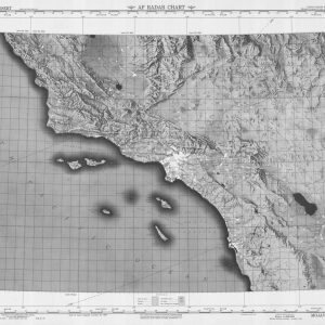
Discover the Striking Topography of Southern California Immerse your space in early post-war tactical exploration with this authentic reproduction of a 1948 USAF radar chart mapping the Mojave Desert ...
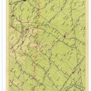
Historical Airway Strip Map Guides Pioneer Midwest Aviators This archival cartographic publication displays the official Air Navigation Map Number 105. The United States Coast and Geodetic Survey compiled this ...

Historical Aviation Topography This image displays a vintage air strip map of Brazil. It shows the detailed topographical terrain between Rio de Janeiro and Caravelas. Pilots used these specific ...

Vintage Chart Outlines Southern Flight Corridor in Brazil This original aeronautical document displays a rare provisional Air Strip Map from the mid-twentieth century. The specialized chart tracks the direct ...
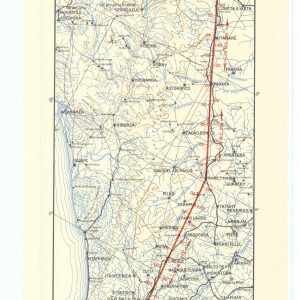
Rare Flight Chart Documents Early South American Air Routes This historical cartographic document represents a provisional Air Strip Map of Brazil. The rare sheet details the strategic flight route ...
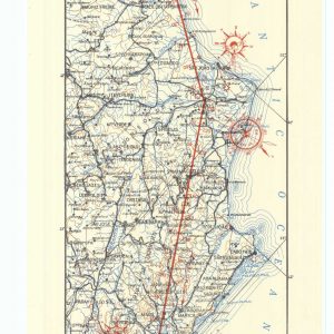
Historical Aviation Topography This image displays a vintage air strip map of Brazil. It shows the detailed topographical terrain between Rio de Janeiro and Victoria. Pilots used these specific ...
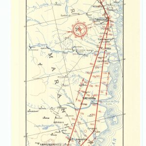
Archival Cartography Tracks Flight Corridors in Northern Brazil This vintage aeronautical chart represents an official Air Strip Map from World War II. The specialized document details the tropical flight ...
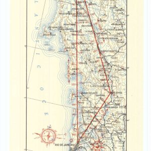
Military Engineering Office Produces Tactical Brazil Flight Guide This historical cartographic printing showcases a provisional military flight chart from August 1940. The Office of the Chief of Engineers in ...

Historical Coastal Flight Path Maps Strategic Eastern Brazilian Airspace This original cartographic document displays an official Air Strip Map numbered Sheet 34. The military publication tracks the essential maritime ...
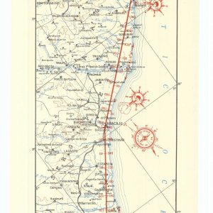
Archival Aeronautical Chart Plots Northeastern Brazilian Flight Corridors This original historical document presents a provisional Air Strip Map numbered Sheet 35. The specialized wartime cartography traces the essential flight ...
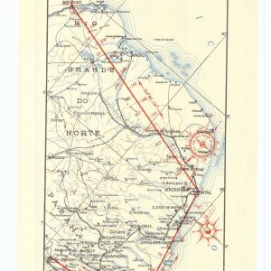
Historical Aviation Topography This image displays a vintage air strip map of Brazil. It shows the detailed topographical terrain between Recife and Fortaleza. Pilots used these specific charts for ...
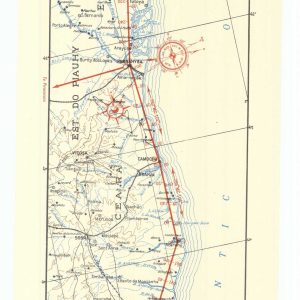
Historical Aviation Topography This image displays a vintage air strip map of Brazil. It shows the detailed topographical terrain between Fortaleza and Sao Luis. Pilots used these specific charts ...

Wartime Aviation Chart Maps Complex Northern South American Airspace This original historical document presents a provisional Air Strip Map numbered Sheet 1-G. The specialized military cartography traces the strategic ...

Wartime Aviation Chart Plots Strategic Caribbean Flight Paths This original historical document presents a provisional Air Strip Map numbered Sheet 2-H. The specialized military cartography traces the vital transit ...
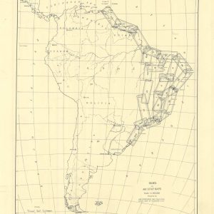
Historical Index Chart Organizes Continental Flight Missions This archival document shows the official index to Air Strip Maps from August 1943. The War Department Map Collection prepared this comprehensive ...

Vintage Aviation Chart Details Maritime Flight Routes This mid-century technical document displays an official Aircraft Position Chart from August 1959. The US Coast and Geodetic Survey published this specialized ...

Historical Aviation Chart Directs Pilots Across Regional Waterways This technical publication captures the updated Airway Map Number 132 from June 1932. The Coast and Geodetic Survey compiled this specialized ...

Historical Aviation Topography This image displays a vintage 1930 United States airway map. It shows the detailed topographical terrain between New York and Canada. Pilots used these specific charts ...

Archival Flight Chart Plots Southern Aviation Expansion This geographic print preserves the original Airway Map Number 128 from late 1929. The United States Coast and Geodetic Survey engraved this ...

Historical Aviation Topography This image displays a vintage 1931 United States airway map. It shows the detailed topographical terrain between Georgia and Tennessee. Pilots used these specific charts for ...

Antique Aeronautic Chart Details Southern Interstate Flight Paths This technical publication displays Airway Map Number 127 from August 1931. The Coast and Geodetic Survey prepared this precise navigation artifact ...
