Images Database
0
  • Home
  • Database
  • Curation
  • News
  • About
  • Contact
LOGIN & REGISTER

HOTLINE (351) 933-715-458

São Miguel - Azores Islands
Portugal

  •  Facebook
  •  Twitter
  •  Youtube
  •  Pinterest
  •  LinkedIn
  •  Instagram
Images Database
0

Currently Empty: 0,00 €

Continue shopping

Logo Black & White
  • Home
  • Database
  • Curation
  • News
  • About
  • Contact

Login

Remember me Lost your password?
No account yet? Create an account

Register

A password will be sent to your email address.

Os seus dados pessoais serão utilizados para melhorar a sua experiência por toda a loja, para gerir o acesso à sua conta e para os propósitos descritos na nossa privacy policy.

Have an Account. Login
0

Your Cart

Currently Empty: 0,00 €
Continue shopping

0
×

Shop

  1. Home
  2. Products tagged “Maps”
  3. Page 5
Show Sidebar
Close

Product categories

  • Abstract4343 products
  • Advertising8888 products
    • Advertising-Renault1515 products
  • Aeronautics160160 products
    • NOAA - Aeronautical Charts160160 products
  • Art Nouveau2828 products
    • Verneuil's Flowers1414 products
  • Chinese Art2929 products
    • Drawings by Auguste Borget2222 products
  • Cubism1515 products
  • Drawings3939 products
    • Butterflies66 products
    • Drawing Studies1313 products
    • NOAA - Drawings55 products
    • Whales by Robert Hamilton1212 products
  • Expressionism7474 products
    • Alexj von Jawlensky4141 products
    • Amedeo Modigliani1212 products
    • Edvard Munch2020 products
  • Fashion620620 products
    • Fashion 14th to 18th Century4848 products
    • Fashion 19th Century522522 products
    • Fashion 20th Century5050 products
  • Gustav Klimt2525 products
  • Henri Matisse102102 products
  • Illustrations112112 products
    • Judge Magazine1313 products
    • Leão Perplexo1010 products
    • Natural History88 products
    • Natural Philosophy1010 products
    • Objects3636 products
    • Puck Magazine2222 products
  • Japanese Art88 products
  • Maps451451 products
    • Ancient World Maps3636 products
    • Bird's-eye View159159 products
    • LoC - Geografia Tavole Moderne I8181 products
    • LoC - Maps 1500-15993030 products
    • LoC - Maps 1800-1899263263 products
    • Loc - Maps of Alaska2222 products
    • LoC - Mexican Atlas2929 products
    • LoC - Picturesque Atlas of Mexico1212 products
  • Music210210 products
    • Den Hunge Herr Holme210210 products
  • Paintings8585 products
    • Still Life88 products
  • Paul Klee1717 products
  • Photography2727 products
    • Photos B&W1919 products
    • Vintage Photos1212 products
  • Posters438438 products
    • Cultural Revolution (China)183183 products
    • Soviet Era2424 products
    • Vintage Airline Posters5252 products
    • Vintage Circus2727 products
    • Vintage Japanese Travels1010 products
    • Vintage Posters128128 products
    • WWI1414 products
  • Religion3838 products
  • Space3434 products
    • NASA - Visions of the Future1919 products
    • Vintage Constellations1212 products
  • Tilework77 products
  • Travels2121 products

Filter by price

Filter by Paper

  • Cotton Artist Text. 310 (544)
  • Kozo Thick White 110 (544)
  • Photo Rag Ultra Smooth 305 (544)

Filter by size

  • A0 (3)
  • A1 (3)
  • A2 (3)
  • A3 (544)
  • A4 (544)

Filter by orientation

  • Horizontal (483)
  • Vertical (123)

Product tags

16th Century 18th Century 19th Century 20th Century Advertising Aeronautical Charts Airplanes album cover artwork Alexej von Jawlensky Art Noveau Atlas Bird's eye view black ink painting black metal China Cultural Revolution death metal Drawings Europe Exhibition Poster Expressionism Fashion fauvism gothic heavy metal Illustrations Library of Congress Maps Mexican Atlas Mexico modern art New York North America Objects Oil paintings Politics Posters Religion Retro splatter art print United States USA Vintage airline posters Vintage poster Vintage posters

Products

  • Japanese ukiyo-e woodblock print showing a massive ocean wave cresting over boats with Mount Fuji in the background.

    The Great Wave off Kanagawa

    19,00 € – 41,00 €Price range: 19,00 € through 41,00 €
  • Self-portrait painting of Van Gogh with red beard wearing a grey felt hat against a textured blue background.

    Van Gogh Self-portrait

    19,00 € – 43,20 €Price range: 19,00 € through 43,20 €
  • Fine art print of the Dutch Golden Age painting Still Life with Asparagus, showing a bundle of white asparagus on a stone ledge.

    Still Life with Asparagus

    19,00 € – 37,50 €Price range: 19,00 € through 37,50 €

Showing 97–120 of 608 results

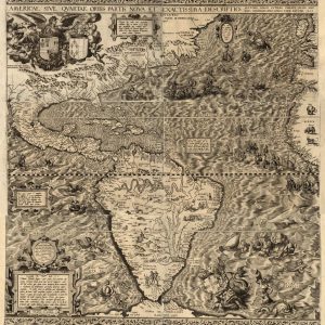
1562 historical engraving by Diego Gutierrez depicting North and South America with sea monsters, galleons, and ornate cartouches.
Ancient World Maps

America Fourth Part of the World

Read more
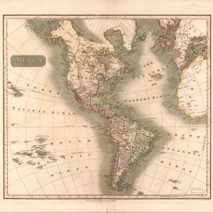
Antique 1813 John Thomson map showing North and South America continents with detailed coastlines, rivers and regional borders.
LoC - Maps 1800-1899

America, continent

Read more
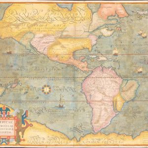
1595 historical map by Michael Mercator showing North and South America, a decorative cartouche, and early geographic explorations.
Ancient World Maps

Americae, 16th Century

Read more
Rare vintage double heart shaped world map projection showing early north and south hemispheres with Latin text cartouches.
Ancient World Maps

Ancient World Map

Read more
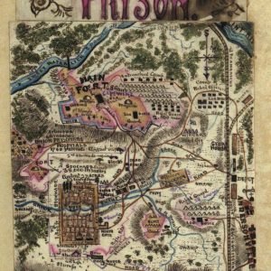
Vintage hand colored map of Andersonville Prison in Georgia drawn by Union soldier and prisoner of war Robert Knox Sneden.
LoC - Maps 1800-1899

Andersonville Prison

Read more
Antique 1540 map engraving by Antonio Salamanca depicting the naval Battle of Preveza and the Ambracian Gulf in Greece.
LoC - Geografia Tavole Moderne I

Anthony & Cleopatra

Read more
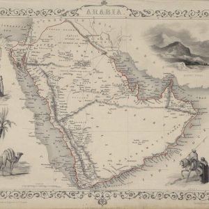
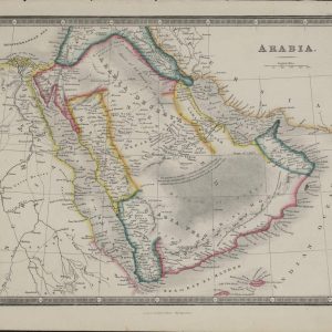
Vintage 1851 map of Arabia by John Tallis featuring vignette illustrations of a camel Mount Sinai and decorative border.
LoC - Maps 1800-1899

Arabia – 1850

Read more
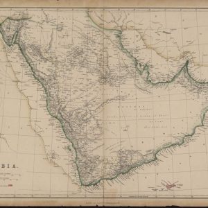
Antique 1863 hand colored map of Arabia and the Red Sea by James Wylde showing historic desert tribal routes and regional topography.
LoC - Maps 1800-1899

Arabia – 1856

Read more
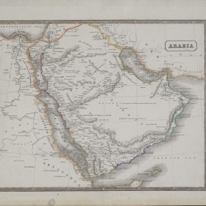
Vintage 1831 hand colored map of Arabia and the Red Sea showing coastal shipping ports and historic regional desert borders.
LoC - Maps 1800-1899

Arabia – 1860

Read more
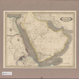
Vintage 1840 map of Arabia Egypt and Nubia by William Lizars with yellow boundaries and detailed Red Sea coastlines.
LoC - Maps 1800-1899

Arabia with the adjacent countries

Read more
Vintage 1885 map of Arabia by Blackie and Son showing Rub al Khali sandy desert and British possessions highlighted in red.
LoC - Maps 1800-1899

Arabia, Red Sea and Persian Gulf

Read more
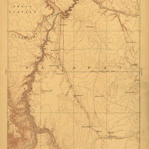
Vintage 1886 USGS topographic reconnaissance map of Echo Cliffs Arizona by J W Powell displaying canyon country terrain contours.
LoC - Maps 1800-1899

Arizona

Read more
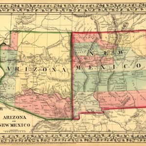
Antique 1867 hand colored map of Arizona and New Mexico territories by S Augustus Mitchell showing early wagon roads and tribal lands.
LoC - Maps 1800-1899

Arizona and New Mexico

Read more
Antique 1814 hand colored engraved map of Asia by Mathew Carey from the General Atlas showing Western and Eastern Tartary.
LoC - Maps 1800-1899

Asia – 1814

Read more
Vintage 1814 hand colored atlas map of the Asian continent showing historical imperial borders and regional coastal geography.
LoC - Maps 1800-1899

Asia – 1818

Read more
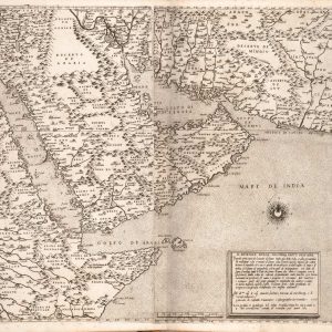
16th-century Italian vintage engraving illustrating the geography of the Arabian peninsula Egypt and western India.
LoC - Geografia Tavole Moderne I

Asia – Second part

Read more
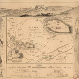
Vintage 1832 map of Athens Greece with ancient ruins showing detailed archaeological plan of the Acropolis and panoramic landscape sketches.
LoC - Maps 1800-1899

Athens – 1832

Read more
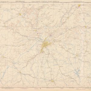
1950 USAF target complex chart mapping Atlanta Georgia and surrounding regions with tactical topographical data.
NOAA - Aeronautical Charts

Atlanta

Read more
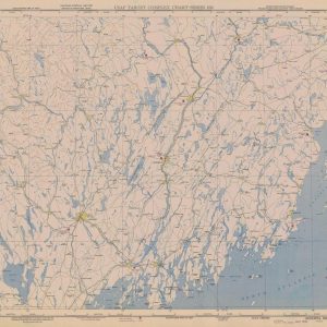
1955 USAF target complex chart mapping Augusta Maine and coastal topography with tactical navigation markers.
NOAA - Aeronautical Charts

Augusta

Read more
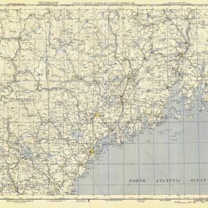
Vintage Lewiston sectional aeronautical chart mapping the rugged coast of Maine and the North Atlantic Ocean.
NOAA - Aeronautical Charts

Augusta

Read more
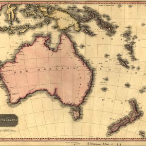
Antique 1818 Pinkerton map of Australasia showing Australia as New Holland, early New Zealand coastlines, and Pacific island chains.
LoC - Maps 1800-1899

Australasia and New Holland

Read more
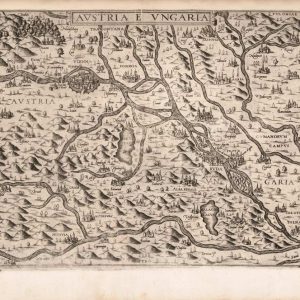
Rare 1565 copperplate map engraving of Austria and Hungary showing the Danube River and historical Central European topography.
LoC - Geografia Tavole Moderne I

Austria & Ungaria

Read more
1862 Bacon's military map of the United States showing Union territories, Confederate secessionist states, and coastal fortifications.
LoC - Maps 1800-1899

Bacon’s Military Map USA

Read more
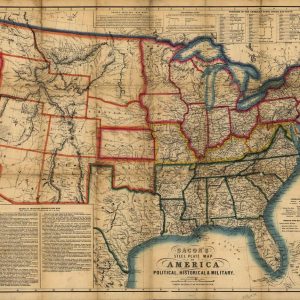
1863 historic Bacon's steel plate map of the United States detailing Union and Confederate states during the Civil War.
LoC - Maps 1800-1899

Bacon’s steel plate map of America

Read more
 
Load More Items All products loaded.

Payment & Delivery

Delivered, when you receive arrives

RETURN PRODUCT

Retail, a Product Return Process

30 DAYS GUARANTEE

30 day satisfaction guarantee

QUALITY SUPPORT

Support Options Including 24/7

Join our mailing list and receive the favorite collections easily!

Join our mailing list and receive the favorite collections easily!

Join our mailing list and receive the favorite collections easily!

Join our mailing list and receive the favorite collections easily!

Join our mailing list and receive the favorite collections easily!

Join our mailing list and receive the favorite collections easily!

Contacts

R. Antigos C. Ultramar, 8
9600-062 Pico da Pedra
PORTUGAL


Mail: info@artcavern.com
Phone: (+351) 933 715 458

Info

  • Contact
  • Curatorial Statement

Your Account

  • About
  • Contact
  • My Account
  • Return Policy

Newsletter

loader
Email*
Firstname
Lastname
Facebook-square Instagram University
Copyright © 2026 Art Cavern – All Rights Reserved.
Payments Banner
  • Home
  • Search
  • 0 Cart
  • My Account