
Currently Empty: 0,00 €

Antique Aeronautic Chart Details Southern Interstate Flight Paths This technical publication displays Airway Map Number 127 from August 1931. The Coast and Geodetic Survey prepared this precise navigation artifact ...

Historical Aviation Topography This image displays a vintage 1929 United States airway map. It shows the detailed topographical terrain between Alabama and Georgia. Pilots used these specific charts for ...
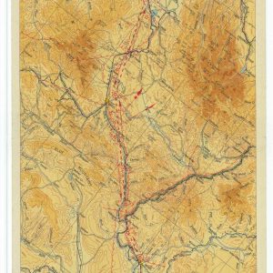
Antique Topographical Chart Illustrates Pacific Northwest Flight Corridor This original document showcases Airway Map Number 138 from May 1931. The Coast and Geodetic Survey produced this colorful technical artifact ...

Vintage Cartography Details Historic International Flight Path This geographic document represents Airway Map Number 132 from January 1931. The United States Department of Commerce published this essential aerial guide ...

Historical 1928 airway map from Buffalo to Albany This image showcases a vintage vertical airway map published in 1928. It illustrates an early commercial flight corridor in New York ...

Historical 1932 airway map from Butte to Great Falls This image showcases a vintage vertical airway map published in April 1932. It illustrates an early commercial flight corridor in ...
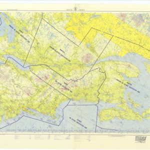
Historical aviation map from Chicago to Gander This historical document is a vintage aviation route chart. It covers the airspace from Chicago to Gander. The map illustrates flight corridors ...

Vintage Chicago to Los Angeles flight route design This historical cartographic artwork showcases a detailed aviation route chart across the United States. The wide panoramic layout displays transcontinental airways ...
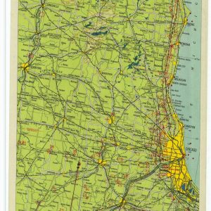
Historical 1930 airway map from Chicago to Milwaukee This image showcases a vintage vertical airway map published in January 1930. It illustrates an early commercial flight corridor near Lake ...

Vintage Chicago to Seattle flight route design This historical cartographic artwork showcases a detailed aviation route chart spanning across the northern United States. The wide panoramic layout displays transcontinental ...
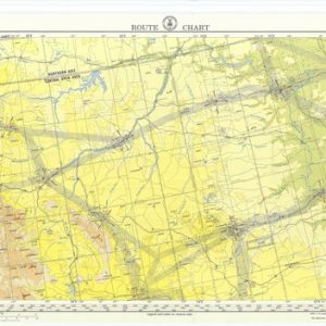
Historical 1956 Chicago to Seattle flight route design This vintage cartographic document showcases the official nineteen fifty-six aviation route chart across the northern United States. The wide panoramic layout ...

Vintage Aviation Strip Map Highlights Early Flight Routes This historical document displays Airway Map Number 114 from May 1930. The Aeronautics Branch of the United States Department of Commerce ...
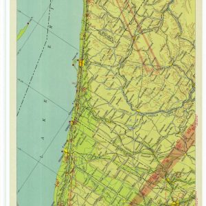
Historical Aviation Topography This image displays a vintage 1930 United States airway map. It shows the detailed topographical terrain between Ohio and New York. Pilots used these specific charts ...
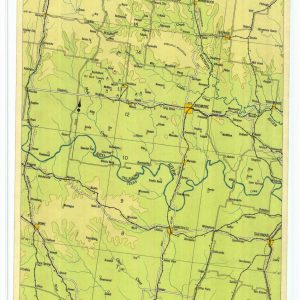
Historical Aviation Topography This image displays a vintage 1927 United States airway map. It shows the detailed topographical terrain between Texas and Oklahoma. Pilots used these specific charts for ...

Historical Aviation Topography This image displays a vintage 1934 United States airway map. It shows the detailed topographical terrain between North Carolina and Virginia. Pilots used these specific charts ...

Historical Aviation Topography This image displays a vintage 1929 United States airway map. It shows the detailed topographical terrain between North Carolina and Virginia. Pilots used these specific charts ...

Historical aviation map from Richmond to Atlanta This image showcases a vintage vertical airway map from the early twentieth century. It illustrates the classic commercial flight corridor in the ...
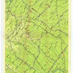
Historical aviation map from Kansas City to Moline This image showcases a vintage vertical airway map from the late nineteen-twenties. It illustrates the early commercial flight corridor in the ...
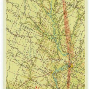
Historical Aviation Topography This image displays a vintage 1931 United States airway map. It shows the detailed topographical terrain between Missouri and Nebraska. Pilots used these specific charts for ...

Historical Aviation Topography This image displays a vintage 1930 United States airway map. It shows the detailed topographical terrain between Nevada and Utah. Pilots used these specific charts for ...

Historical Aviation Topography This image displays a vintage 1929 United States airway map. It shows the detailed topographical terrain between Nevada and Utah. Pilots used these specific charts for ...

Historical aviation and flight routing This vintage document presents an official United States airway map centered on Los Angeles. It details early aeronautical navigation corridors alongside specific visual flight ...

Historical Aviation Topography This image displays a vintage 1929 United States airway map. It shows the detailed topographical terrain between California and Nevada. Pilots used these specific charts for ...
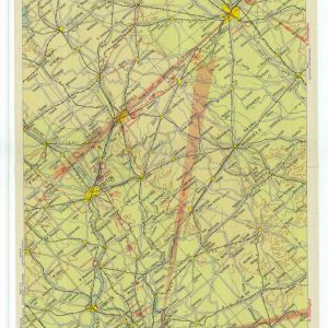
Historical Aviation Topography This image displays a vintage 1932 United States airway map. It shows the detailed topographical terrain between Kentucky and Ohio. Pilots used these specific charts for ...
