
Currently Empty: 0,00 €
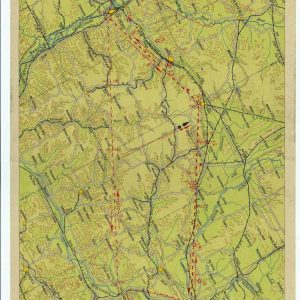
Historical Aviation Topography This image displays a vintage 1932 United States airway map. It shows the detailed topographical terrain between Wisconsin and Minnesota. Pilots used these specific charts for ...
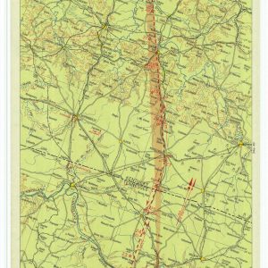
Historical Aviation Topography This image displays a vintage 1933 United States airway map. It shows the detailed topographical terrain between Tennessee and Indiana. Pilots used these specific charts for ...
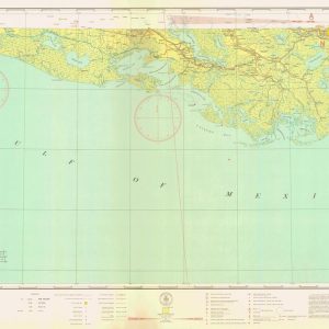
Historical Sectional Aeronautical Chart of New Orleans This vintage aeronautical map displays the coastal region of New Orleans Louisiana. The chart showcases the detailed southern bayou landscapes along with ...
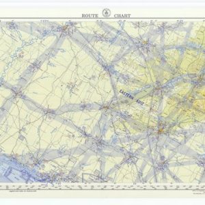
Historical New York to Brownsville Aeronautical Route Chart This vintage aeronautical map displays the extensive flight navigation paths between New York and Brownsville. The panoramic chart showcases a complex ...
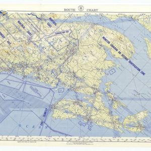
Historical New York to Gander Aeronautical Route Chart This vintage military route chart maps the airspace from New York to Gander. The document displays tactical aviation corridors across the ...
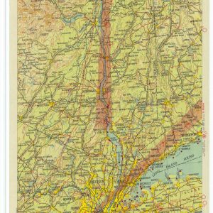
Historical Aviation Topography This image displays a vintage 1931 United States airway map. It shows the detailed topographical terrain between New York City and Albany. Pilots used these specific ...
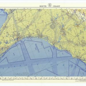
Vintage Aviation Mapping from New York to Havana This historical aeronautical document displays the comprehensive flight route connecting New York with Havana. It maps the complex navigation paths stretching ...

Aeronautical flight corridors across western Europe This vintage aeronautical map displays official United States military navigation routes across western European nations. It details strategic aviation corridors linking key territorial ...

Cold War air defense identification sectors This vintage aeronautical map displays official United States military flight paths and regional defense boundaries. It highlights strategic airspace sectors including the Seattle ...
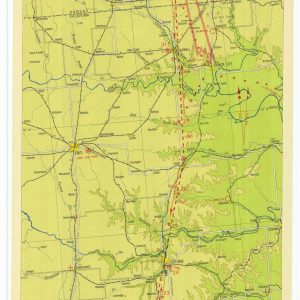
Historical Aviation Topography This image displays a vintage 1930 United States airway map. It shows the detailed topographical terrain between Oklahoma and Kansas. Pilots used these specific charts for ...
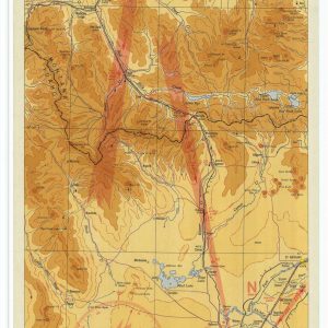
Historical Aviation Topography This image displays a vintage 1935 United States airway map. It shows the detailed topographical terrain between Idaho and Montana. Pilots used these specific charts for ...
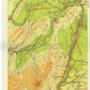
Historical Aviation Topography This image displays a vintage 1932 United States airway map. It shows the detailed topographical terrain between Oregon and Washington. Pilots used these specific charts for ...
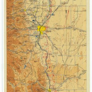
Historical Aviation Topography This image displays a vintage 1933 United States airway map. It shows the detailed topographical terrain between Colorado and Wyoming. Pilots used these specific charts for ...

Historical Aviation Topography This image displays a vintage 1934 United States airway map. It shows the detailed topographical terrain between Virginia and Washington DC. Pilots used these specific charts ...
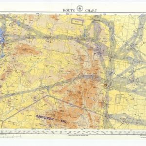
Historical St Louis to San Francisco Aeronautical Route Chart This vintage aeronautical map displays the detailed flight navigation paths between St Louis and San Francisco. The panoramic chart showcases ...

Historical 1930 airway map from St. Louis to Chicago This image showcases a vintage vertical airway map published in January 1930. It illustrates an early commercial flight corridor in ...

Historical 1931 airway map from Salt Lake City to Elko This image showcases a vintage vertical airway map published in May 1931. It illustrates an early commercial flight corridor ...
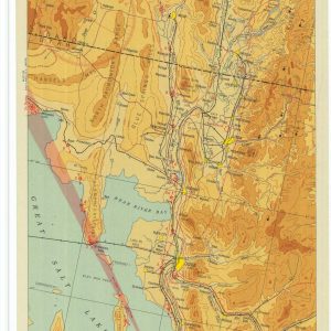
Historical 1931 airway map from Salt Lake City to Pocatello This image showcases a vintage vertical airway map published in November 1931. It illustrates an early commercial flight corridor ...

Historical Long Distance Flight Route Map This vintage aeronautical route chart displays the extensive flight path from San Antonio to New York. It highlights complex navigation vectors and historic ...
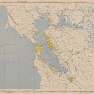
Cold War military charting of the San Francisco Bay Area This authentic 1950 United States Air Force target complex chart displays the metropolitan region of San Francisco and Oakland. ...
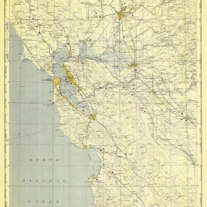
Strategic Cold War Mapping of Northern California This historical document displays a 1950 military intelligence chart created by the United States Air Force. It highlights the strategically vital coastal ...
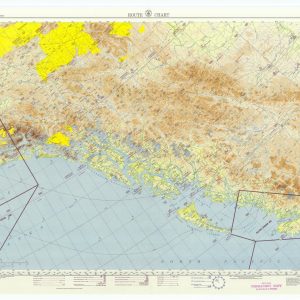
Chart the Historic Aerial Defense of the Alaskan Gulf Delve into the strategic landscape of the far north with this exceptional reproduction of a 1953 aviation route chart, focusing ...
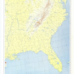
Aeronautical flight corridors of the eastern states This vintage aeronautical map displays official United States military navigation routes across the eastern half of the nation. It details strategic aviation ...

Chart the Wild Frontiers of Alaska Navigate the remote skies of the Pacific Northwest with this authentic 1953 Alaskan route chart. Originally issued during a pivotal era in strategic ...
